Fresh findings released in late September 2025 show the ionosphere displayed detectable pre-seismic disturbances 20–120 minutes before the November 28, 2021 M7.5 earthquake in northern Peru.
By analyzing Total Electron Content (TEC) with GNSS/GPS receivers, researchers identified distinct pre-seismic ionospheric disturbances (PIDs) that strengthened as the mainshock approached.

If validated across more events, this could add tens of minutes to hours to today’s early-warning horizons.
Event Snapshot- Peru 2021 Earthquake
The Northern Peru earthquake struck at 10:52 UTC (05:52 local time) on November 28, 2021.
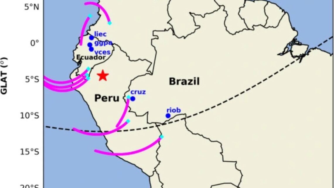
It was an intermediate-depth, normal-faulting event within the subducting Nazca Plate, centered near Barranca (Amazonas/Loreto).

Depth estimates are around ~110–126 km, limiting tsunami risk but producing strong shaking across northern Peru and parts of Ecuador.
Key Details At A Glance
| Item | Detail |
|---|---|
| Date & Time | November 28, 2021 — 10:52 UTC (05:52 PET) |
| Magnitude | Mw 7.5 |
| Depth | ~110–126 km (intermediate) |
| Tectonics | Normal faulting within the Nazca Plate |
| Lead Time Detected | 20–120 minutes pre-event |
| Method | GNSS/GPS TEC analysis |
| Signal Bands | ~3.63–4.80 mHz (acoustic–infrasonic range) |
| Propagation Speed | ~0.60 km/s |
| Space Weather | Quiet–to-unsettled (low Kp) during window |
| Notable GPS Tracks | G02, G05, G15, G24 showed sequential anomalies |
How The Signals Were Detected
Using a dense network of GNSS receivers, scientists tracked line-of-sight TEC along multiple GPS satellite tracks over northern Peru.
On G02, G05, G15, and G24, they observed negative TEC anomalies emerging about two hours before the mainshock, intensifying into the final hour.

Crucially, the same paths on the previous day showed no comparable features, strengthening the argument that these were seismogenic rather than routine daily variability.
Frequency analysis revealed energy clustered around ~3.63–4.80 mHz, while travel-time diagrams indicated phase velocities near ~0.60 km/s—both consistent with acoustic–infrasonic waves launched by subtle ground processes that couple upward to ionospheric heights.
In other words, the atmosphere above Peru was “ringing” in a way that matched known physics.
Why Low Latitudes Boost Detection
Peru sits near the equatorial ionization anomaly (EIA), where the configuration of Earth’s magnetic field and strong ion–neutral coupling tend to amplify small perturbations.
The study found amplitudes increased toward the geomagnetic equator, a hallmark of low-latitude ionosphere behavior.
This geographic advantage can make pre-seismic signatures more detectable over Peru than at higher latitudes.
How Space Weather Was Ruled Out
To avoid mistaking space-weather effects for earthquake-related signals, the team checked global geomagnetic indices and compared nearby days.
Conditions were quiet to mildly unsettled (low Kp) during the window, and control-day tracks did not reproduce the pattern.
That combination—quiet geomagnetic background plus day-to-day contrast along the same GPS paths—supports a seismogenic contribution to the TEC anomalies.
What It Means For Early Warning
Traditional earthquake early-warning (EEW) detects P-waves, delivering seconds to about a minute of notice.
If ionospheric cues like those seen before Peru’s 2021 M7.5 event prove consistent and reliable, they could extend lead times by tens of minutes to a couple of hours, giving utilities, hospitals, transport systems, and the public more time to act.
That said, not every large earthquake shows strong ionospheric precursors, so multi-region validation, robust space-weather filtering, and regional calibration are essential before operational alerting.
The Peru 2021 M7.5 earthquake provides one of the clearest real-world examples that the ionosphere can carry actionable signals up to two hours in advance.
With GNSS-TEC tracking capturing mHz-band signatures and ~0.60 km/s propagation, and with equatorial amplification aiding detection, the case strengthens the promise of upper-atmosphere monitoring as a powerful complement to ground-based systems.
The path to public alerts, however, runs through broad statistical testing, space-weather discrimination, and careful integration with existing EEW networks.